Current Developments
Forecasters are closely monitoring a tropical weather wave emerging from Africa—tagged Invest 97L—that could develop into a tropical depression or storm later this week. The system is being tracked by the National Hurricane Center and may pose a future threat to the Caribbean, Bahamas, and the Dominican Republic, you can visit Yahoo News UK.
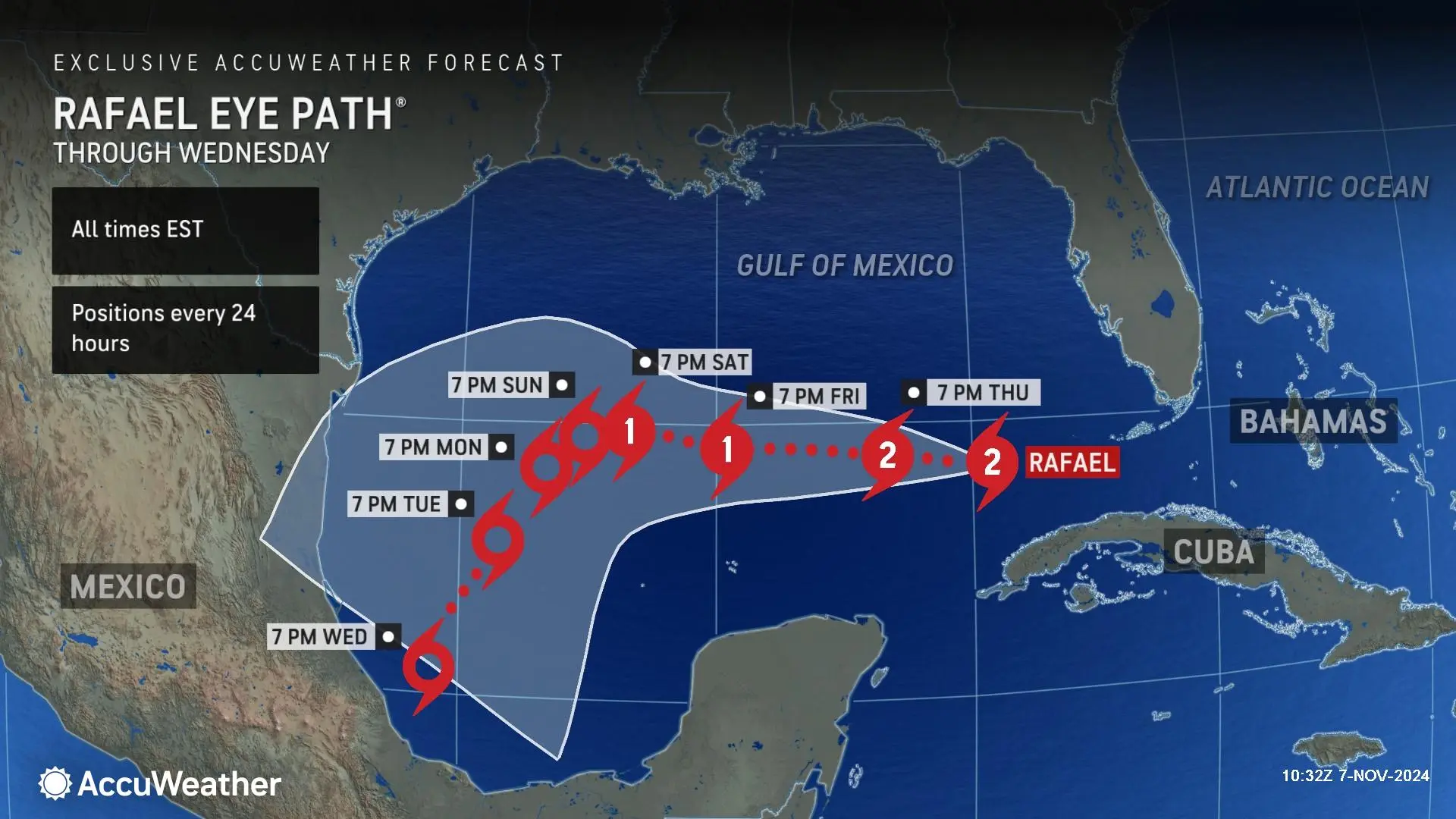
Over the longer term, long-range models suggest potential storm formation in the Caribbean Sea by late next week. There’s significant uncertainty, but the European model projects a system heading toward the Lesser Antilles, Cuba, and possibly into the eastern Gulf of Mexico around August 21 in Houston Chronicle.
Another area drawing attention is Invest 96L—a tropical wave in the central Atlantic—showing a 60% chance of development over the weekend or early next week. It may evolve into Tropical Storm Erin but is currently expected to head northwest, potentially moving away from the U.S., although some models hint it could approach Bermuda.
What This Means for the Caribbean
- Watch closely: While no storms have formed yet, systems like Invest 97L and 96L could affect the region. Early awareness is crucial.
- Stay informed: Forecasts are still tentative—updated models will sharpen the trajectory and intensity outlook by mid-week.
- Preparation tip: Authorities and communities should use this lead time to review emergency plans, especially as late-season systems tend to develop rapidly.
Summary Table: Tropical Watch at a Glance
| System | Location / Path | Development Chance | Timeframe |
|---|---|---|---|
| Invest 97L | Emerging from Africa toward Caribbean | High potential | Later this week |
| Caribbean Wave | Near Lesser Antilles, Cuba | Speculative | Late next week (~Aug 21) |
| Invest 96L | Central Atlantic | 60% | Weekend / early next week |
Ready to explore the Caribbean like never before? Discover our hand-picked tours and start your adventure today.
